Are you looking for your perfect Epping Forest walk? Epping Forest, owned and managed by the City of London Corporation, has over 284km of walking routes and trails across 8,000 acres of ancient woodland. It is an irreplaceable ancient Forest rich in biodiverse, culture and heritage.
Whether you’re looking for recommended walking routes to explore in your own time, guided walks or community events like our annual Big Walk, Epping Forest Heritage Trust can help you explore, enjoy, and connected with the Forest.
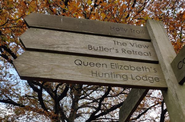
Waymarked Trails
Visit the Epping Forest charity’s website to find out more about their waymarked trails and download their handy one-page maps and info, so you can choose your perfect walk through beautiful Epping Forest.

Guided Walks
See Epping Forest in a new light with our guided forest walks! Led by forest experts, our guided walks offer the chance to learn more about the Forest’s ecology and history. A great way to get outside and meet new people!

Epping Forest Walks app
Download our free GPS-enabled walking app that offers 20 fantastic trails throughout the Forest and its bufferland, including 10 official waymarked trails by City of London Corporation and the Epping Forest Big Walk.

Epping Forest Big Walk
Stay-up-to-date with the latest news and information about our famous ‘Big Walk’, formerly known as Epping Forest Centenary Walk, Stretching from Manor Park in Newham, East London to Epping in Essex (14.1 miles), the Big Walk can be enjoyed in it’s entirety with our walking group or in easily accessible sections.

Request a Free Map
Within the Epping Forest Big Walk Map, you will find the route to walk the whole length of Epping Forest, as well as potential shorter sections we have identified to enable you to walk parts of the route using public transport.

'Love Epping Forest Walks' Facebook Group
Love walking in Epping Forest? Why not join our Facebook group with like-minded people to share walk routes, recommendations and, photos.